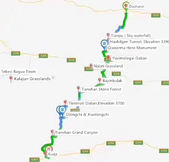
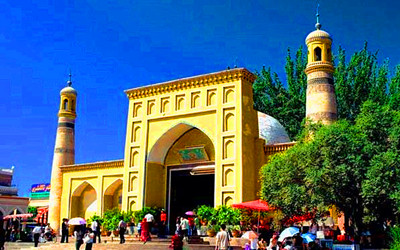
Duku Highway is the top road trip in China for the spectacular landscape and steep road condition. It is the national defense highway from Dushanzi to Kuqa. It is attracting numerous travelers to drive through the mountain every year from mid-June to mid-Sept. This charming road only opens for 3months. As one of the peculiar and hazardous roads, Dushanzi-Kuqa Highway, 561 kilometers in length, is a highway connecting Xinjiang's southern and northern areas. It stretches across steep mountains and passes through deep peaks and valleys, connecting numerous ethnic communities.
Duku Highway has witnessed how unlikely it is possible. It has dramatically shortened the transport distance between South and North Xinjiang and is regarded as a monument in the history of highway construction in China.
Features of Dushanzi - Kuqa Highway:
Highway Overview: Tianshan Mountains occupied an essential mountain system in Central Asia. It divides Xinjiang into two parts: southern Xinjiang and northern Xinjiang, bordering the Junggar Basin in the north and the Tarim Basin in the south. The Duku Highway traverses the middle section of the Tianshan Mountains, from Dushanzi to Kuqa; the total length is 563 km. The part of National Highway 217 (Pile No. K585 to K1117), the north end entrance is more than 300 kilometers from Urumqi, and the whole driving journey takes at least 12 hours. After the No. 2 tunnel was changed to the Mingxian ( Ming Line ), it was 536 kilometers, and its technical level was level 3. The surface layer of the whole line is 3 cm asphalt surface, and the base layer is 10 to 25 cm graded gravel.
Construction Fuctions: In the past, it was necessary to bypass the Great Riverside or Hejing from Dushanzi to Kuche; the completion of the road communicated the direct communication between north and south Xinjiang in the middle section of Tianshan, thereby shortening the mileage of 300 to 500 kilometers.
History of Duku Higway: Dushanzi - Kuqa Highway was completed and opened to traffic in September 1983, which shortened the distance between North and South Xinjiang by nearly half from the original 1,000 kilometers. To build this highway, more than tens of thousands of soldiers fought for ten years, and 168 soldiers died during the construction.
Travel time: The highway is open to the traffic from June to October, and the best travel time is from July to August. Tourists can enjoy the beautiful scenery and nomadic style in this section in summer.
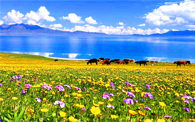
Landscape Along the Highway: The stunning scenery along the road is always hitting the hearts of visitors; this road can take you to enjoy the magnificent view, including grassland, forest, snow mountain canyon, lakes, and waterfall, as long as you can imagine the beautiful scenery of Xinjiang. Therefore, if you come to Xinjiang for the first time, I suggest you take the Dushanzi - Kuqa Highway. After all, this road can let you experience the tranquillity, wildness, and the charm of nature.
Note: Because of the rare opportunity to cross the Duku Highway, in general, we recommended you to take three days to enjoy the scenery along the way.
How Many Days to Cross Duku Highway with Sightseeing?
The "Road of Heroes" has become a vital tourism road. Stretching through Tianshan Mountain and connecting natural scenic spots such as the Bayanbulak Grassland and Tianshan Mysterious Grand Canyon, the highway attracts more tourists.
Continue driving for about 80 kilometers to the intersection of Duku Highway and National Highway 218, and then driving about 20 kilometers to the west, you will reach Nalati Grassland.
Day 1: Starting fromDushanzi, after passing through the "Gate of Tianshan Mountain" formally embark on DuKu Highway, climb the slope along the skyline drive, and move the "Shouwang Tianshan" stele to the most dangerous "Tiger Pass ( Laohu Kou )" of the Duku Highway. After passing through the Haxilegen Tunnel and the 100-meter snow proof corridor at an altitude of 3390 meters to arrive at Qiaoerma.
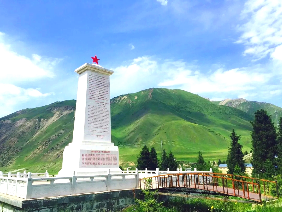 Qiaoerma
Day 2: After returning to Duku Highway along national highway 218, continue to cross over Lardundaban and arrive at Bayanbulak. Among them, Swan Lake and the Nine Turns and Eighteen Bends are the popular attractions in Bayanbulak, especially in the evening. You can enjoy the fantastic grassland scenery of "nine suns."
Day 3: Enter the boundary of Kuqa and start driving down from the winding road for about 90 kilometers. During this period, it will pass through the scenic spots of Dalongchi and Xiaolongchi.
What to Visit Along the Duku Highway?
Dushanzi Grand Canyon: Located in Dushanzi District, Karamay, Xinjiang, 28 kilometers south of the urban area. The gurgling streams reflected the desolate and gullied cliffs on both sides of the Dushanzi Grand Canyon, which was quite spectacular.
 Anjihai Grand Canyon
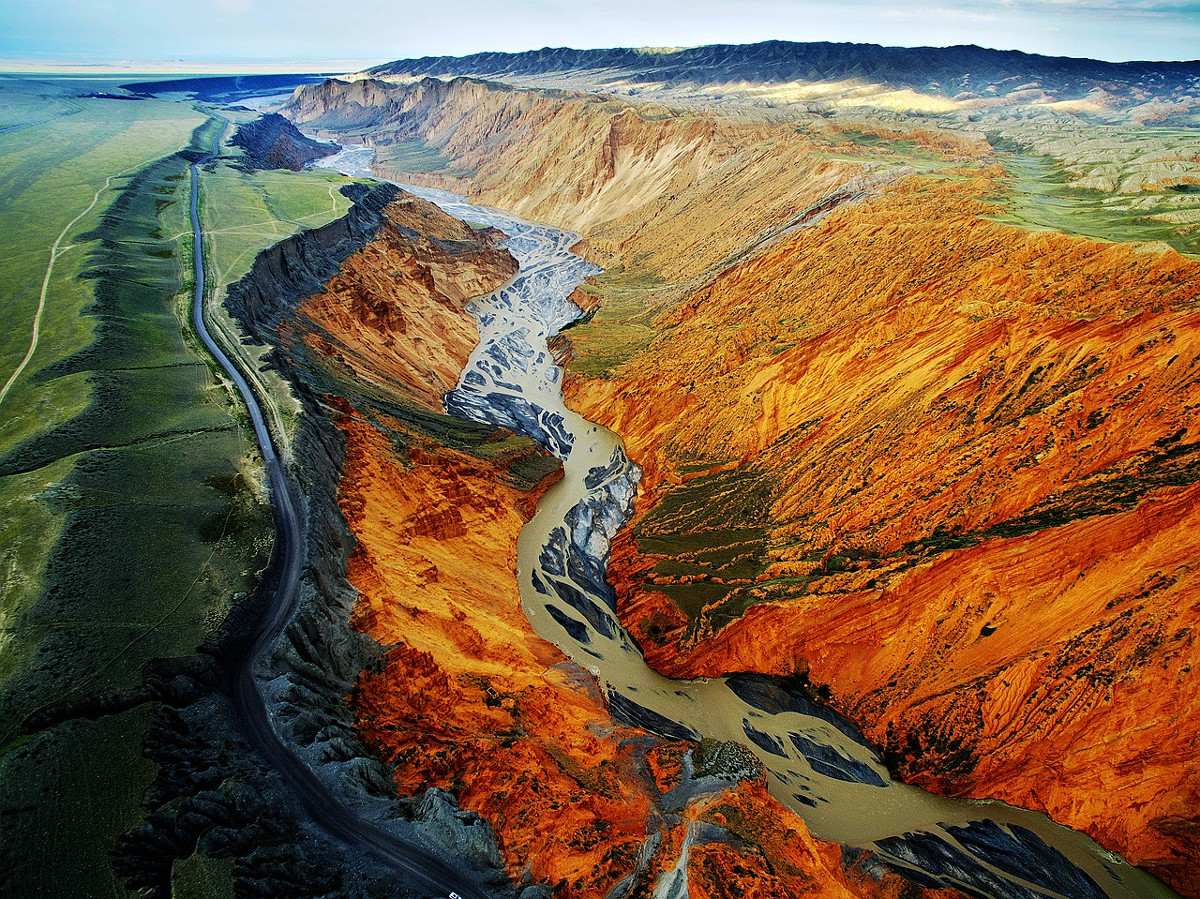
Anjihai Grand Canyon: It seems that rivers and canyons are flowing on the "modernist abstract painting." It sits at the northern foot of the Tianshan Mountains like a colorful ribbon. Anjihai Grand Canyon is an impressive natural wonder comprised of cliffs, jagged rocks, and vibrantly colored stones. Standing on the canyon's side, you will unconsciously be attracted by its colorful and dazzling scene.
Qiaoerma DuKu Hero Monument is located less than one hundred meters from the first fork, Qiaoerma. It records the construction history of the Duku Highway; local people built a monument by the highway to commemorate the 168 soldiers who died during the construction.
 Nalati Grassland
Nilka Tangbula Grassland: With the lush green secondary forest, the variety of rugged rocks, and the colorful wild grassland. Tangbula Grassland is the most exciting and self-driving section of pasture.
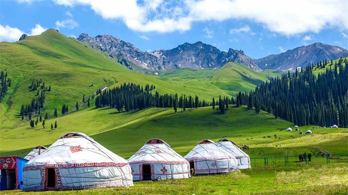
Nalati Grassland: It located at the foot of the Tianshan Mountains and the east section of Ili River Valley. It is the best tourist destination to visit the beautiful scenery of the vast prairies and the beautiful snow peaks. Nalati Grassland, one of the highest grasslands in the world, nicknamed the"Sky Grassland."
Bayinbulak Grassland: In Mongolian, it is called "abundant spring." The grassland looks like a vast green carpet, surrounded by snowy mountains. The Kaidu River meandering on the pasture is called the "Nine Turns and Eighteen Bends" view and is a beautiful place to watch the sunset. It's said that if lucky enough, one can see nine suns in the river.
Tianshan Grand Canyon ( Kuqa Grand Canyon ): This is called "Kiziliya" by the local people, which means "red mountain cliff" in the Uyghur language. Kuqa Grand Canyon exhibits the typical character of yardang landform with its rocks covered by many ridges and grooves in either bright red or golden yellow. Years ofwind erosion have sculpted the rocks into different shapes, stone pillars, or empty castles lined up along your walk through the canyon. carpet, surrounded by snowy mountains. The Kaidu River meandering on the pasture is called the "Nine Turns and Eighteen Bends" view and is a beautiful place to watch the sunset. It's said that if lucky enough, one can see nine suns in the river.
Recommended Popular Tours to Dushanzi - Kuqa Highway
Sayram Lake, Narat and Duku Adventure Narat Grassland and Kashgar Folklore


