

Xinjiang Maps
To help you better understand Xinjiang and plan your trip more easily, we have collected some useful Xinjiang maps, including the Xinjiang Tourism and Geographical Map, the North and South Xinjiang Tourist Map, and the Urumqi and Kashgar Tourist Maps. All maps are printable and provide helpful information for exploring the Xinjiang Uyghur Autonomous Region.
Located in northwestern China, Xinjiang (officially known as the Xinjiang Uyghur Autonomous Region) is the largest provincial-level region in China by area.

Xinjiang Location Map
Located in northwestern China, Xinjiang covers an area of over 1.6 million square kilometers and is home to around 26 million people. The region is inhabited by many ethnic groups, including the Uyghur, Han, Kazakh, Hui, Kyrgyz, Mongolian, Russian, and other communities.
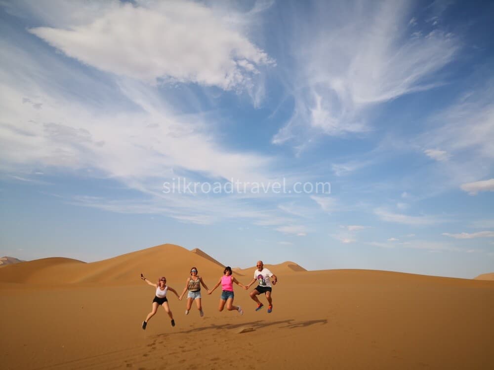
Xinjiang is famous for its rich cultural heritage, beautiful music, and delicious fruits. Known for its vast landscapes and abundant natural resources, it features snow-capped mountains, the Gobi Desert, high plateaus, deep valleys, stunning waterfalls, and diverse wildlife. The Taklamakan Desert, the largest desert in China, and the Turpan Basin, the lowest point in China below sea level, are also located here.
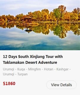
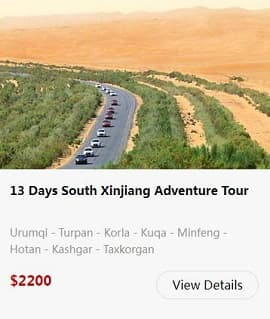
Taklamakan Desert Adventure Tour

Xinjiang Tourism Map
Tourism plays an important role in China's economic development. Xinjiang is rich in diverse tourism resources, offering breathtaking natural landscapes, unique cultural experiences, and fascinating historical heritage.
Located in northwestern China, Xinjiang has a typical temperate continental climate, with dry conditions, abundant sunshine, and significant temperature differences between day and night. Due to its vast territory and varied terrain, different areas of Xinjiang feature distinctive landscapes and climates.
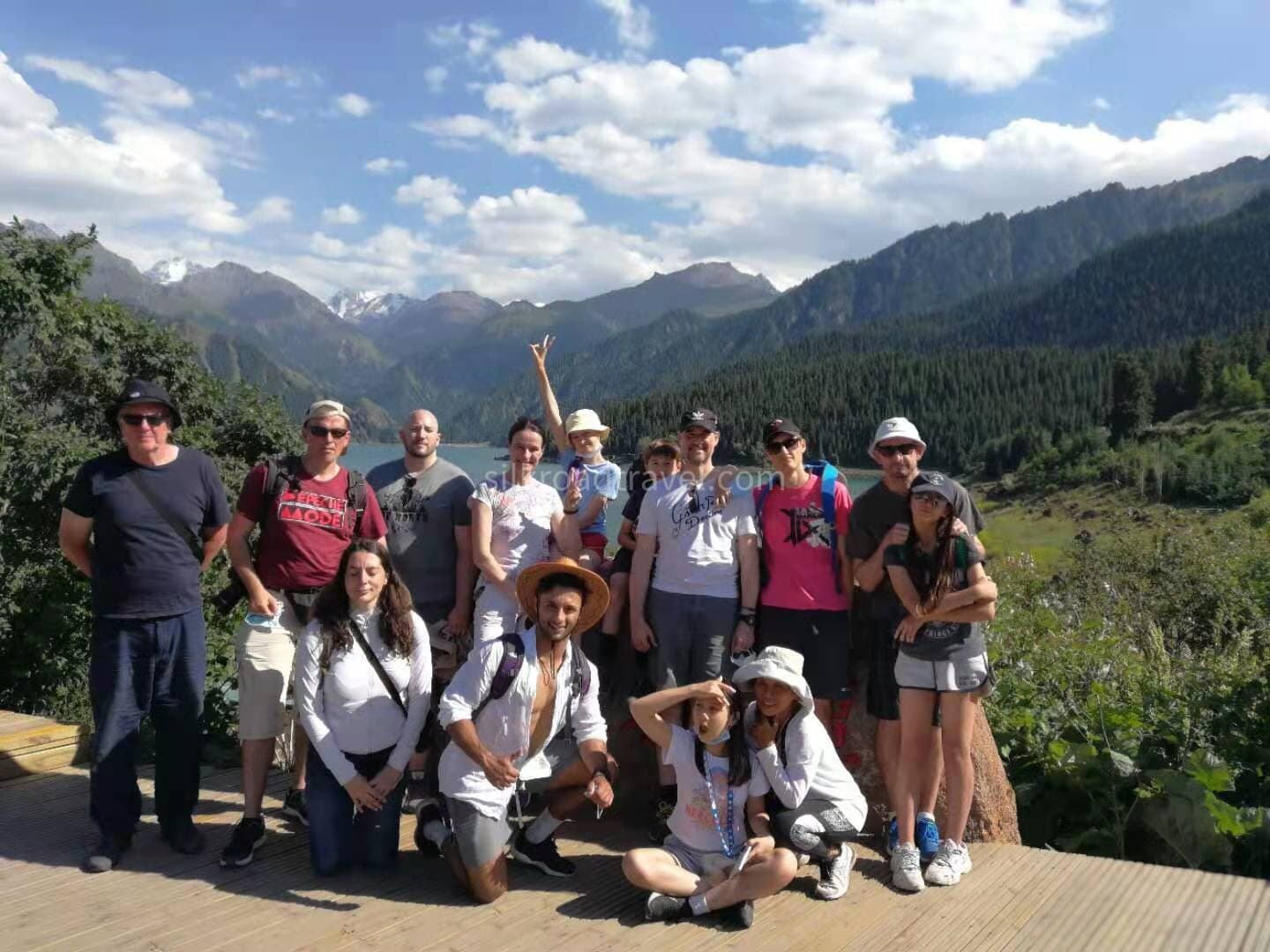
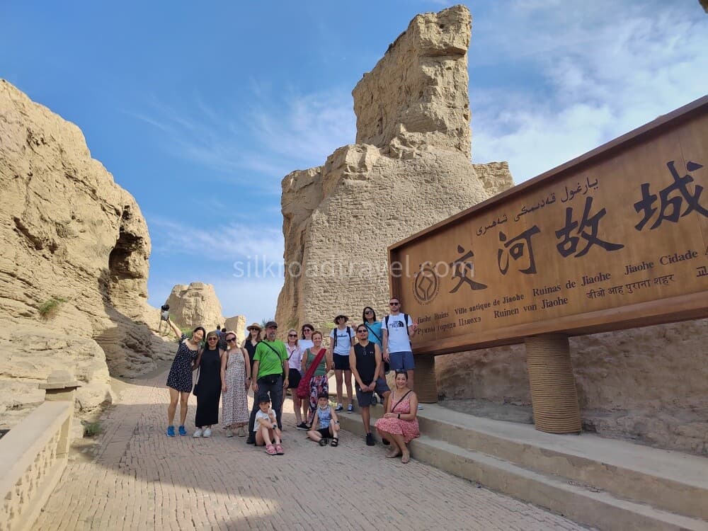
The region is home to many famous natural attractions, including Heavenly Lake, Karakul Lake, Bayanbulak Grassland, and the Flaming Mountains. Xinjiang also boasts a rich historical heritage, with remarkable sites such as the Jiaohe Ruins, Gaochang Ancient City, Kizil Thousand Buddha Caves, and Sugong Minaret, which are renowned for their historical and cultural value.

Xinjiang Tourism Map
Xinjiang Geographical Map
The Tianshan Mountains, a symbol of Xinjiang, run across the central part of the region, separating the Tarim Basin to the south from the Junggar Basin to the north.

Xinjiang Geographical Map
Traditionally, the area south of the Tianshan Mountains is known as South Xinjiang, while the area north of the mountains is called North Xinjiang.
North Xinjiang Tourist Map
North Xinjiang is a paradise for nature lovers. Its stunning grasslands, pristine lakes, and winding rivers create breathtaking landscapes that look like a dream. With countless opportunities for hiking and outdoor adventures, North Xinjiang is also an ideal destination for travelers who prefer a more relaxing vacation, offering unforgettable experiences amid beautiful natural surroundings.

North Xinjiang Tourist Map
South Xinjiang Tourist Map
South Xinjiang has been a multicultural region since ancient times. The rich traditions, arts, and colorful customs of the Han, Uyghur, Tajik, Kyrgyz, and other ethnic groups have shaped a unique cultural landscape, offering visitors a fascinating glimpse into the region’s history and heritage.

South Xinjiang Tourist Map
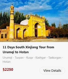
North & South Xinjiang Tour
Urumqi Tourist & Location Map
Urumqi, the capital of Xinjiang Uyghur Autonomous Region, is the political, economic, cultural, and transportation center of the region. Formerly known as Dihua, the city is located deep in the Eurasian continent and is recognized as the world’s farthest major city from any ocean. Today, Urumqi is an important gateway for exploring Xinjiang and a popular tourist destination known for its unique culture, diverse cuisine, and convenient transportation connections.

Urumqi Location Map

Urumqi Tourist Map
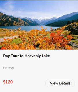
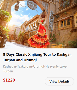
Urumqi Tours
Kashgar Tourist & Location Map
Kashgar, known as Shule in ancient times, was an important Silk Road trading post at the crossroads of the Northern and Southern Routes of the Silk Road. Located on the western edge of China, Kashgar is geographically closer to the Middle East than to Beijing, offering visitors a unique blend of ancient history, diverse cultures, and vibrant local traditions.

Kashgar Location Map

Kashgar Tourist Map
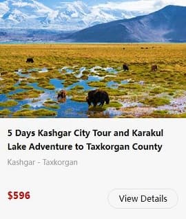
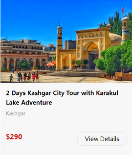
Kashgar is rich in cultural and natural attractions, including the Id Kah Mosque, the largest mosque in Xinjiang, the historic Gaotai Ancient Residences, the stunning Karakul Lake, the magnificent Mount Muztagh Ata, and the famous Kashgar Old City, where visitors can experience the traditional local lifestyle. Together, these attractions create the unique cultural charm of western Kashgar. From its vibrant ethnic culture to the spectacular plateau landscapes and snow-capped mountains, Kashgar offers unforgettable experiences for travelers.
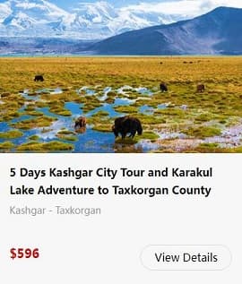
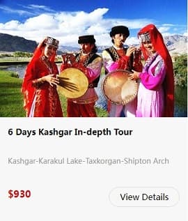
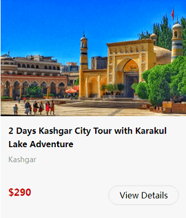
Kashgar Tours